 1 / 9
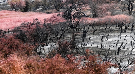
1 / 9The United States is currently facing a diverse array of unusual weather events. These include a tropical storm hitting Hawaii, record-breaking heat spreading across the Sun Belt states, and widespread poor air quality due to smoke from Canadian wildfires drifting over the border. These occurrences serve as a sampler of the extreme weather patterns that scientists predict will become more frequent as a result of climate change driven by fossil fuel usage. Here’s a look at some of the weather phenomena impacting the United States. (Image: AP)

 2 / 9
2 / 9Heatwave breaks Arizona record | Tens of millions of Americans are currently experiencing extreme heat conditions as a massive heat dome lingers over the southern and western regions of the United States. Phoenix, Arizona, is particularly affected, where temperatures on Tuesday (July 18) surpassed 110 degrees F (43 C) for the 19th consecutive day, shattering the previous record of 18 straight days above 110 degrees. (Image: AP)

 3 / 9
3 / 9On July 15, Arizona's major utility disclosed a record-breaking electricity demand, reaching an unprecedented peak of 8,191 megawatts (MW). This trend of soaring electricity usage aligns with similar patterns observed in Texas. Meanwhile, central Texas, spanning from San Antonio up to Dallas, is bracing for scorching temperatures, with forecasts indicating temperatures of 105 degrees or higher in the upcoming two days. (Image: AP)

 4 / 9
4 / 9On Tuesday, July 18, Death Valley, California, was anticipated to be the hottest location in the United States. The temperatures at the visitors’ centre in Death Valley National Park are projected to reach a scorching 122 degrees F (50 C). Death Valley holds the all-time record for extreme heat, with a staggering 134 degrees, making it the highest temperature ever recorded on Earth's surface. (Image: AP)
 5 / 9
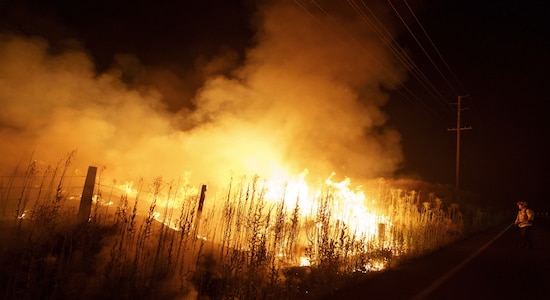
5 / 9Poor Air Quality | As of July 18, smoke from the ongoing Canadian wildfires continued to spread across the United States, leading to poor air quality in various regions. The impact of this drifting smoke is felt as far as Yosemite National Park in California, Conway, New Hampshire, and even the Great Smoky Mountains National Park in Tennessee, which seems fitting given its name. The AirNow.gov website, responsible for monitoring pollution, reported these concerning air quality conditions in the affected areas. (Image: AP)
 6 / 9
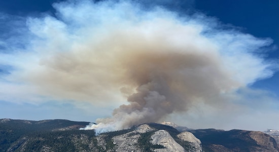
6 / 9According to Stan Benjamin, a senior research associate at the Cooperative Institute for Research in Environmental Sciences and the National Oceanic and Atmospheric Administration, the smoke from the Canadian wildfires can cover vast distances across the country due to weather factors. Winds at an altitude of 10,000-15,000 feet above the ground, along with other atmospheric conditions, can propel the smoke up to 500 miles per day, resulting in its widespread dispersion across the United States. Benjamin explains that with specific favourable weather patterns, such long-distance transportation of smoke becomes possible. (Image: AP)
 7 / 9
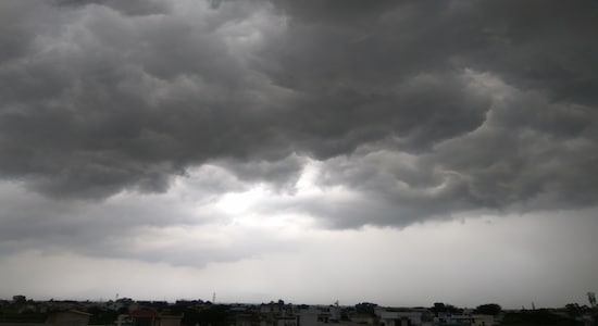
7 / 9Tropical Storms and Floods | Hawaii's Big Island was placed under a tropical storm warning in anticipation of Tropical Storm Calvin. The National Weather Service (NWS) issued the warning, forecasting the storm to bring significant rainfall of up to 8 inches and wind gusts reaching 40 mph to the island. (Image: Shutterstock)
 8 / 9
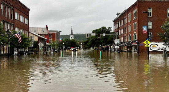
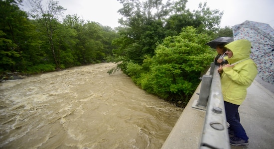
8 / 9Approximately 5,000 miles to the northeast in Vermont, central regions of the state, including the capital, Montpelier, were placed under a flood watch. This came in the aftermath of heavy rainfall last week, which resulted in high water levels and inundation in the affected areas. (Image: Reuters)
 9 / 9
9 / 9On Tuesday (July 18) afternoon, the National Weather Service (NWS) warned of potential thunderstorm activity that could bring an additional 1-2 inches of rain per hour to the region. This area's soil conditions are already saturated, increasing the risk of further flash flooding due to the intense rainfall. (Image: AP)

